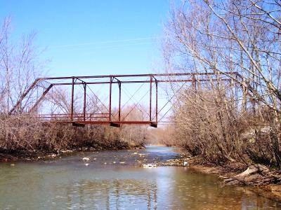
Castor River Fishing Spot
- Elevation: 385'
- Last Modified By: vinny60 on 09/16/09 01:01 PM
- Ask about Castor River in our Fishing Forums
Photos
Fish Species
Castor River Description
Missouri's Castor River forms near Silver Lake in Ste. Genevieve County on the eastern edge of the Saint Francois Mountains, then flows south to Gipsy in Bollinger County where it turns east and flows a short distance before turning southeast, then northeast, on its way to its Mississippi River confluence south of Cape Girardeau. The Whitewater River flows into the Castor south of the Town of Whitewater and northwest of Delta. The upper reaches of the river are a narrow "shut-in" stream formed by rushing water eroding away relatively soft limestone and dolomite until it reached the deeper igneous rock, in this case in the form of pink granite and rhyolite. The river is characterized by dense stands of willows, old growth shortleaf pines and cedars along the banks and the surrounding fields where azaleas bloom in May. While most of the river has a relatively gentle gradient, the area around Amidon Conservation Area and Hahn's Mill Shut-in features a steeper 75 fpm drop with great whitewater rapids rated Class II to IV.
The Castor River rises in southeastern Missouri near Fredericktown. The river flows south to the Headwater Diversion Channel, which flows into the Mississippi River just south of Cape Girardeau. The river below the Diversion Channel flows south until it reaches Saint George Bayou where both streams combine to form the Little River.
